
The project ‘Atlas historyczny miast polskich’ (Historical Atlas of Polish Towns) was originated by Professor Antoni Czacharowski in 1993 in the Institute of History and Archival Sciences of the Nicolaus Copernicus University in Toruń. The territorial scope of the project covers the territory of the modern Polish state. The internal structure of the project is based on the territorial divisions of the Polish monarchy and the neighboring countries of the Holy Roman Empire in the early modern era. The Torun team, which initiated work on the atlases, is interested in the towns of northern Poland, the volumes Royal Prussia and Ermland, Masuria – Ducal Prussia and Kujawia. In the 1990s the projket has also been undertaken by the Wrocław team supervised by Professor Maria Młynarska–Kaletynowa and Professor Rafał Eysymontt, publishing the atlases of Silesian towns, and the Cracow team, publishing atlases of towns of Lesser Poland under the supervision of Professor Zdzisław Noga. In 2021, another team led by Professor Urszula Sowina published the atlas of Kalisz, which is the first fascicle of volume six – Greater Poland. For the past two years, a new team has been working to prepare a fascicle on Warsaw, which will open the volume Mazovia. Currently, the project head is Roman Czaja of the Faculty of Historical Sciences at Nicolaus Copernicus University. As a result of the research, forty-two atlases of Polish towns have been published so far (see the list of the atlases: http://atlasmiast.umk.pl/atlasy/ ), whereas several other atlases are ready to be printed.
Team of Toruń Historical Atlas of Polish Towns
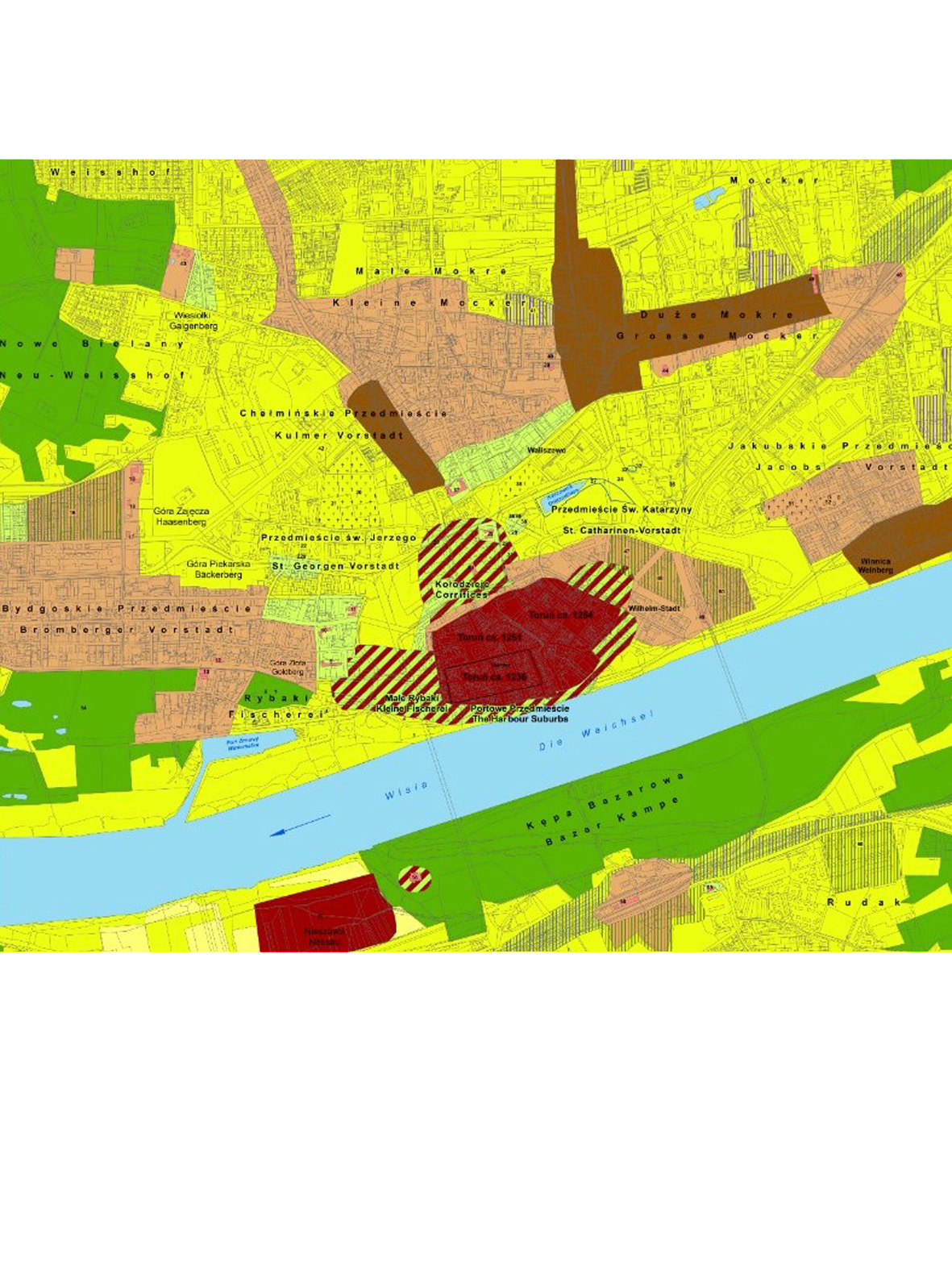
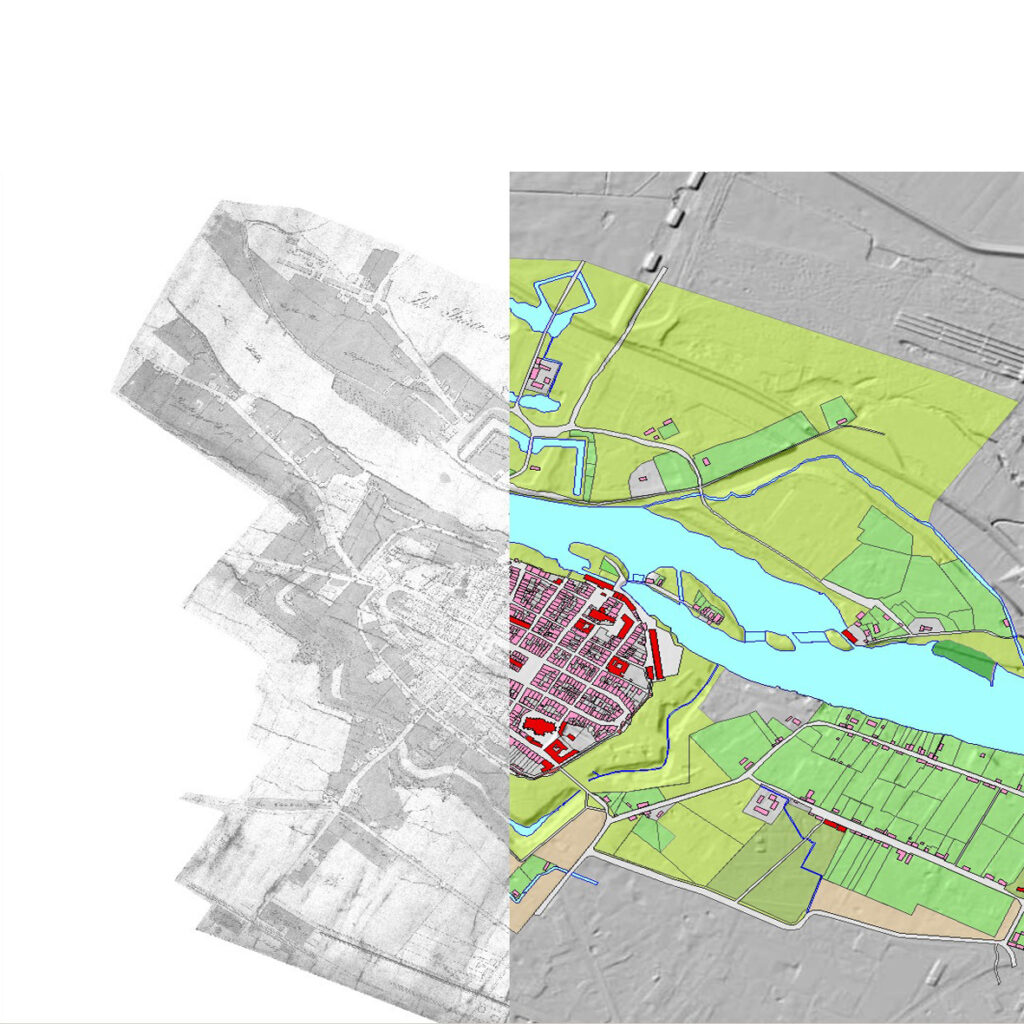
The team affiliated with the Nicolaus Copernicus University in Toruń includes with its interests towns from the territory that belonged to the state of the Teutonic Order until the end of the Middle Ages, the volumes Royal Prussia – Ermland and Masuria – Ducal Prussia, as well as towns from Kujawia, a region that belonged to the Polish Monarchy since the 10th century. Urbanization of these territories began in the first half of the 13th century. More than 100 towns were established in the territory of former Prussia during the Middle Ages and early modern era. In contrast, the urban network of Kujawia included more than 40 towns in the pre-industrial period. The editorial work takes into account different types of towns, both large cities whose development was based on long-distance trade, towns of residences of territorial authority, episcopal towns, and small and medium-sized towns whose central functions were local and regional in scope. Most of the team’s contributors are professionally affiliated with Nicolaus Copernicus University, with the Faculty of Historical Sciences and the Faculty of Earth Sciences and Spatial Management. Cooperation with the Torun team was undertaken in recent years by a team of historians and cartographers from the University of Gdańsk and the Institute of History of the Polish Academy of Sciences, who prepared for publication an atlas of the city of Gdansk. Specialists from the museum and scientific institutions of the respective towns are also invited to cooperate in the preparation of the atlases. The team has published 16 atlases, and four more fascicles are in print.
Silesian team of the Historical Atlas of Polish Cities
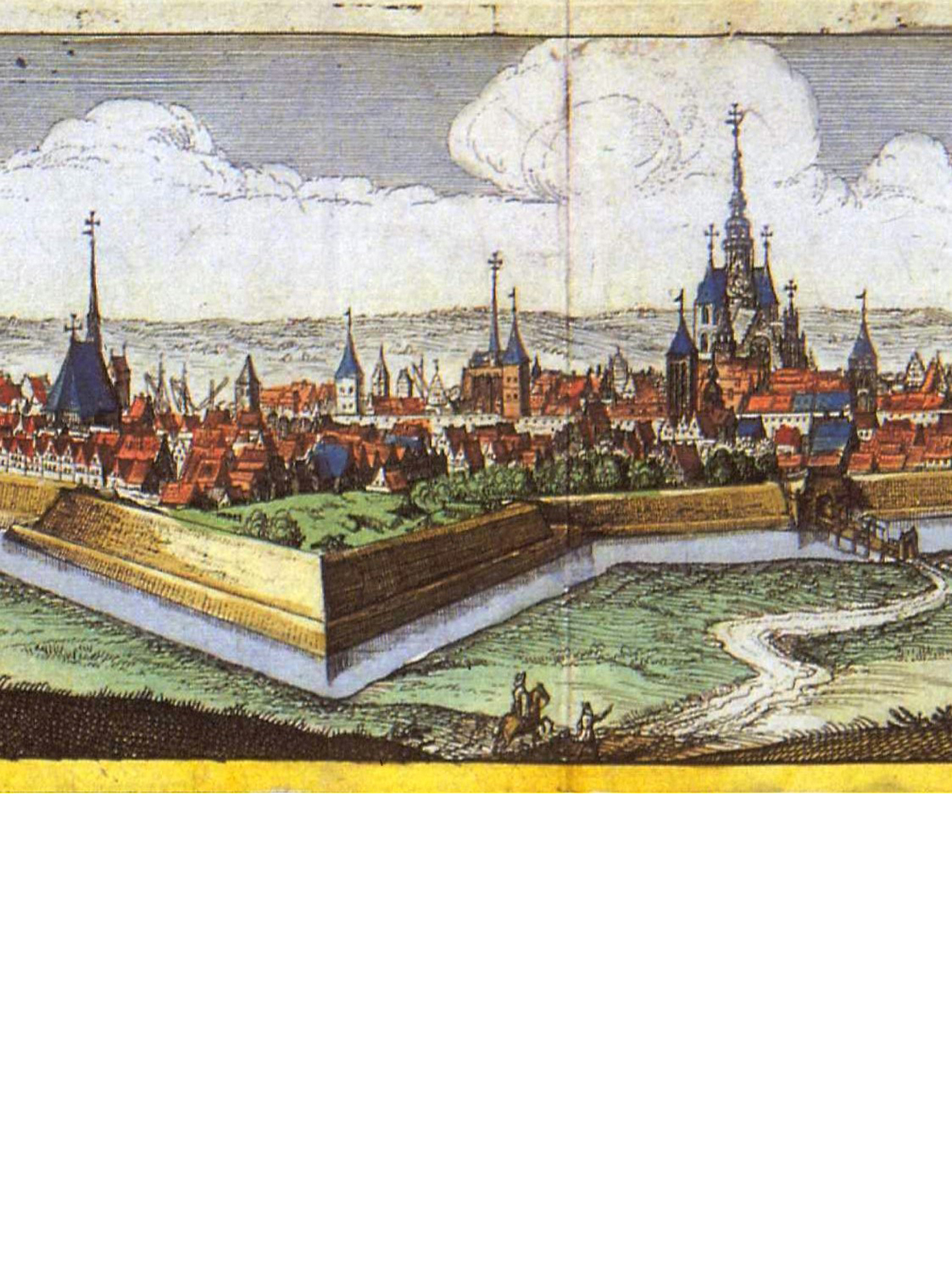
Volume IV of the Historical Atlas of Polish Towns covers the territory of historical Silesia – the region occupying mostly today’s south-western Poland (present-day Lower Silesian, Opole and partly Silesian and Lubuskie Voivodships). On the beginning of the modern era, the western part of this area began to be referred to as Lower Silesia and the eastern part as Upper Silesia. The subject of the research of the Silesian Atlas Group are the towns founded usually in the 13th and 14th century. At the beginning of the 14th century there were 128 towns. However, the research also covers later periods up to the present day. The first published Atlases concerned the towns of Lower Silesia, primarily selected for their political importance and representing a specific urban model, e.g. a monastery town (Trzebnica), a town founded on a former fortified settlement (Niemcza), or one of the oldest towns in Silesia granted with German law (Środa Śląska). In time, Atlases were also prepared for selected towns in Upper Silesia (Bytom, Gliwice and Racibórz). The Silesian Atlas Group, working initially under the supervision of Marta Młynarska-Kaletynowa, now Rafał Eysymontt, was established in 1998 and until 2017 was associated with the Institute of Archaeology and Ethnology Polish Academy of Sciences (Instytut Archeologii i Etnologii Polskiej Akademii Nauk). Some atlases were also published in cooperation with the Scientific Society in Toruń (Towarzystwo Naukowe w Toruniu). Currently the research project is based at the Institute of Art History at the University of Wrocław (Instytut Historii Sztuki Uniwersytetu Wrocławksiego). From 2001 to the present, 18 Atlases for Silesian towns have been issued. Each of the Atlases contains an illustrated text, a cadastral plan, reconstruction maps, as well as reproductions of the most important historical cartographic material.